Anyone who has driven the Slug Road in poor weather understands the name before they know its origin. The road runs inland and west from Stonehaven towards Banchory and Deeside, climbing out of the coastal lowland onto higher, more exposed ground before dropping again towards the river. The word itself comes from the Gaelic for a pass or a gap, and that is exactly what the route is: a way through the rising land that separates the coast from the Dee valley, taking the line of least resistance across country that offers few easy choices.
For Stonehaven the importance of that pass is straightforward. The town faces the sea, but it has always needed to reach inland as well, to the farms of the Mearns, the markets of Deeside, and beyond them to the wider country. The Slug carried farm produce, livestock, building materials and people in both directions. It was the working connection between a fishing and trading town on the coast and the agricultural districts that fed it, and traffic moved along it according to the rhythm of markets and seasons rather than any timetable.
A road shaped by weather
What makes the Slug memorable is that it does not let you forget the landscape. The higher sections catch wind and snow that the sheltered town below is spared, and the road has a long history of being blocked in hard winters while Stonehaven itself stays open. Drifting snow can close the pass when the coast is merely cold, and this difference between the two has always shaped how people used it. A carter judging whether to take the inland route looked first at the sky over the high ground, not the conditions outside his own door.
That exposure is the price of a useful line. The Slug climbs steadily rather than steeply where it can, which suited loaded wagons and, later, lorries, but it pays for that gradient by sitting up where the weather is worst. Drainage, snow gates and the simple labour of keeping the road clear have been part of its story for as long as it has carried regular traffic, and they remain part of it now.
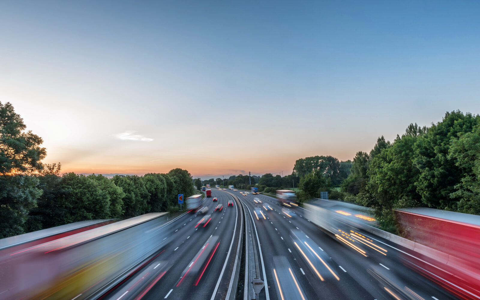
The pull of Aberdeen
Run alongside the inland routes the other great line of movement, the one that runs north and south along the coast, and you arrive at the modern A90. The A90 corridor is the trunk road that ties Stonehaven to Aberdeen in one direction and to Dundee and the central belt in the other, and it carries the weight of regional traffic that the older roads could never have managed. The pull of Aberdeen is the constant here. The city is the market, the employer, the port and the destination for a large share of what moves through the area, and the road north reflects that gravity in the volume of vehicles it carries every day.
It is worth seeing the Slug Road and the A90 not as old and new so much as two answers to the same problem. The land between the coast and the interior, and the land between Stonehaven and the city, both have to be crossed by anyone with goods to move or business to do. The Slug took the inland gap on foot, hoof and wheel for centuries. The A90 took the coastal line and turned it into a fast freight and commuter route. Both still share the same hills, the same weather and the same basic geography of a town tucked into its bay with high ground at its back.
Travelling it today
For a visitor, the contrast is instructive. Drive out on the Slug on a clear day and you gain height quickly, with long views back over the coast and a real sense of why the route went where it did. Join the A90 instead and you feel the modern pace, the steady stream of cars and lorries, the speed at which the city now lies within reach. Older local movement and modern trunk-road freight occupy the same landscape, and you can read both within a single short journey if you know what you are looking at.